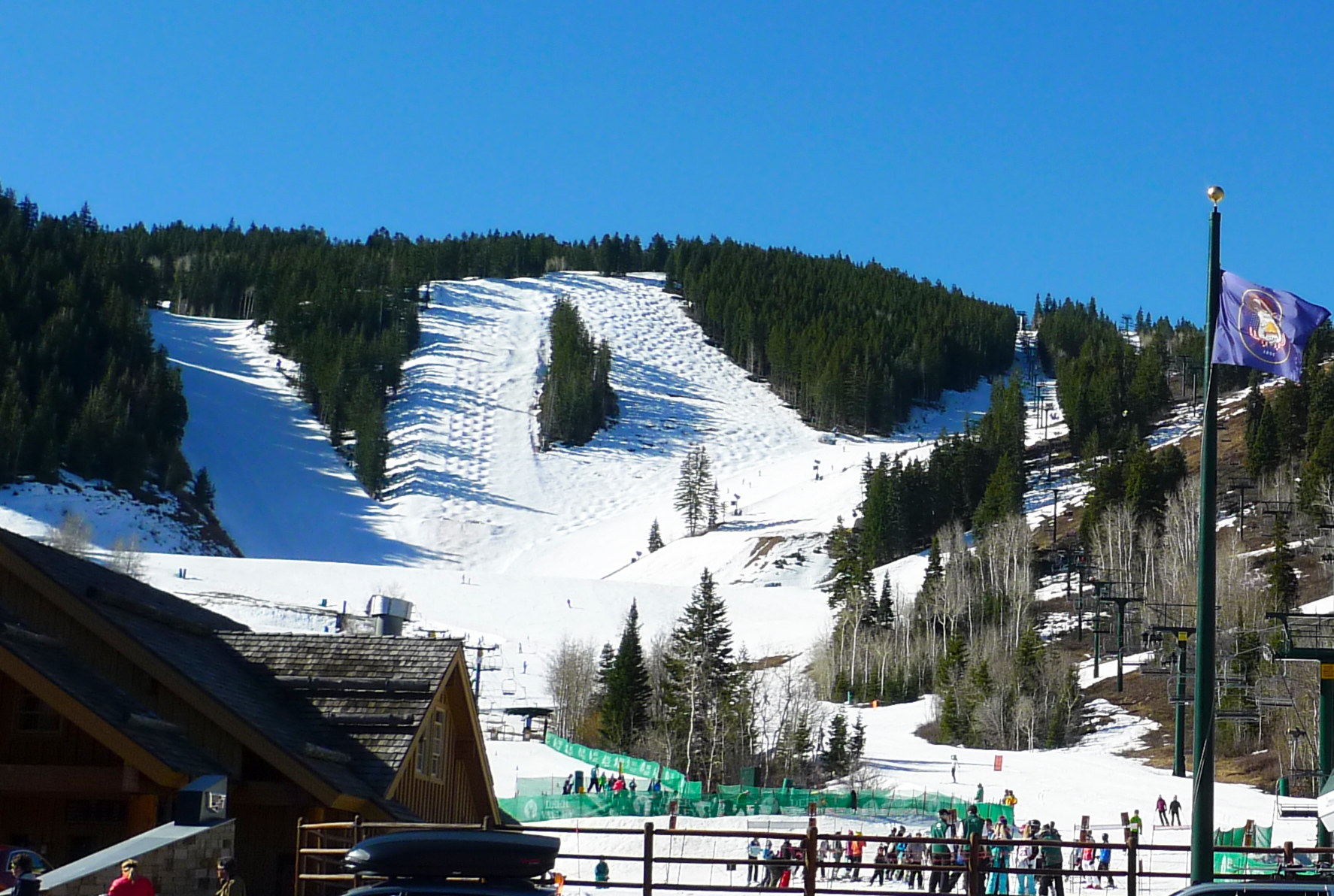
Deer Valley Resort’s Ontario snow stake showed 6 inches Wednesday morning, Oct. 14, after a storm brought snow to Utah’s ski areas.
Park City Mountain and Deer Valley received lighter snowfall than resorts in Little Cottonwood Canyon. Snowbird’s stake showed 18 inches and Alta’s showed 16 inches by Wednesday morning, The Salt Lake Tribune reported.
Remnants of Tropical Storm Rachel combined with a cold low-pressure system from the Pacific Northwest to produce the storm, National Weather Service lead meteorologist Christine Kruse told the Tribune.
TownLift reported ahead of the storm that Pacific moisture would reach the interior West over the weekend, with colder air improving the chances for mountain snow as the week progressed.
The snow-stake readings may not capture all the snow that fell. OpenSnow forecaster Evan Thayer told readers that repeated snowfall and melting occurred before snow remained on the stake, according to the Tribune.
Northern Utah ski areas near Ogden Valley and Logan received only a light dusting, the newspaper reported.
The early snow arrived roughly five weeks before Park City Mountain’s target opening date of Nov. 20. Deer Valley plans to open Dec. 5, conditions permitting.
More precipitation is expected next week. In its Oct. 16 forecast discussion, the National Weather Service said widespread precipitation could begin Tuesday, Oct. 20, across central and southern Utah, followed by additional periods of valley rain and high-elevation snow.
Forecasters anticipated another 6 to 12 inches of snow over several days, mainly above 9,000 to 9,500 feet.