Park City hikers and mountain bikers have a new paper guide to the trail network this summer. The Mountain Trails Foundation released its 2026 trail maps on July 21, the first time a new production team has overseen the project in eight years.
Resource Manager Ian Hartley led the map project for the first time this year, working with cartographer Buck Ehler and longtime graphic designer Scott Collett. Local cartographer Jay Hill had overseen the mapping work during the previous eight years, according to TownLift.
"With so many options, the maps make it easier to develop routes, providing a perspective far more expansive than a phone screen," Hartley said.
The set includes two maps. The Old Town and Overview map shows the broader network from Bloods Lake to Summit Park, with a closer view of Old Town and the Treasure Hill area. The Round Valley and Snyderville Basin map covers Round Valley, Skyridge, Clark Ranch, Lost Prospector, Trailside, and other areas east of U.S. 40. Its reverse side shows Discovery Ridge, Glenwild, Summit Park, and Utah Olympic Park.
Both maps are printed on tear- and water-resistant material.
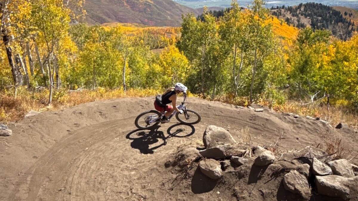
The map covers feature photographs by Margot Taylor and Emma Garrard, winners of the foundation's annual photo contest. Taylor's image appears on the Old Town and Overview map; Garrard's photograph is on the Round Valley and Basin edition.
Sponsorship support from Skyridge and Deer Valley helps offset production costs, Hartley said. Recurring donors receive a new map set and a membership sticker each year. Maps can also be purchased with a one-time donation through mountaintrails.org. The initial shipment was mailed to donors the week of July 21, and additional copies will be distributed to bicycle shops around Park City once remaining inventory arrives from the printer.

-1.jpeg)