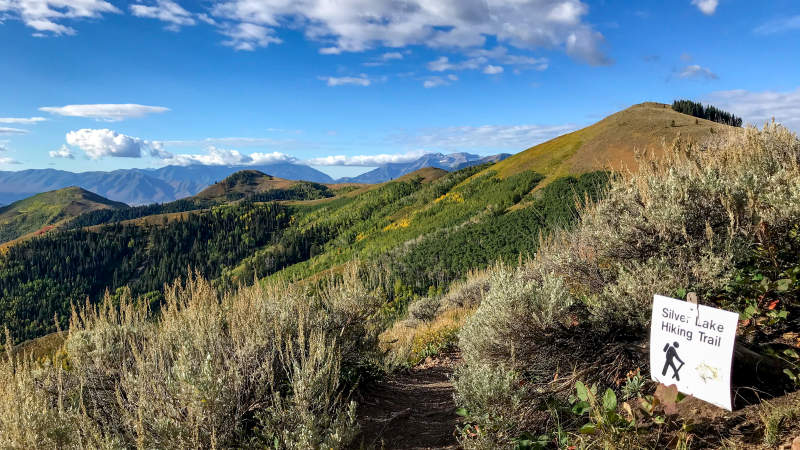
Wildflowers are blooming across Park City's roughly 400-mile trail system, and Mountain Trails Foundation says the show is still going strong.
The nonprofit reported in its July 17 trail update that blooms were "still in full swing." At most elevations, the season typically fades by the end of July, making the final days of the month prime time to get on the trails.
Bonanza Flat and Bloods Lake
Bonanza Flat Conservation Area, 1,534 acres of alpine meadows and lakes at the top of Guardsman Pass, is one of the area's best-known wildflower destinations. The Bloods Lake Trail offers a short route into the landscape.
Dogs must be leashed throughout Bonanza Flat, and dogs are not allowed in the Bloods Lake watershed area. Paid parking is in effect at Bonanza Flat trailheads, and lots can fill by 8 a.m. on busy days. Cars parked along the roadway near trailheads may be ticketed or towed.
Park City residents living within municipal boundaries can register for a local parking permit. Everyone else should plan to arrive early or take the Purple Transit Route, which runs Friday through Sunday from 5:36 a.m. to 6:18 p.m. every 20 minutes with stops at both the Bonanza Flat and Bloods Lake trailheads.
Ontario Mine and Red Cloud
The Ontario Mine trailhead near Empire Pass provides access to the Ontario Bypass and Red Cloud hiking trail. Mountain Trails Foundation recommends it as an alternative when Mid Mountain and Iron Mountain trailheads are crowded. The higher-elevation route passes through forested mountain terrain.
Mid Mountain Trail near Empire Pass
The Mid Mountain Trail runs at roughly 8,000 feet through forested slopes, ski runs, and aspen groves. Hikers share the trail with mountain bikers.
The Mid Mountain parking lot is closed for construction until further notice, according to Mountain Trails Foundation's July 3 update. The Ontario Mine and Bonanza Flat trailheads serve as alternatives.
Skyridge Peak
The Skyridge and Jordanelle trail system offers approximately 12 miles of hiking and biking trails on the northwestern side of Jordanelle Reservoir. The Skyridge Peak Trail leads to a summit with 360-degree views. Open terrain means little shade and full exposure to afternoon storms.
Trail closures
The Lower Silver Spur to Armstrong trail section is closed through the end of July 2026. Hikers and bikers should use Three Kings Road to Silver Star to access Armstrong Trail.
Protecting the meadows
Mountain Trails Foundation asks visitors to stay on established trails rather than walking into meadows for photographs, and to leave flowers in place.
The organization also warns that summer storms can bring heavy rain, hail, lightning, and temperature drops of more than 25 degrees. Hikers should leave exposed terrain when thunderheads develop and turn around when mud begins sticking to shoes, since traveling on saturated trails causes lasting damage to the surface.
Mountain Trails Foundation posts weekly trail updates on its website and Instagram account (@mtntrailspc).


-1.jpeg)