NOAA's winter outlook offers no clear indication of whether Park City will receive above-normal or below-normal precipitation during the coming ski season.
The National Oceanic and Atmospheric Administration's Oct. 15 forecast gives the Intermountain West equal chances of above-normal, near-normal or below-normal precipitation from December 2026 through February 2027.
That designation means forecasters do not favor any one precipitation outcome for the region. It does not rule out major snowstorms or prolonged dry periods in Park City.
NOAA expects wetter-than-average conditions across much of the southern United States and warmer-than-average temperatures across the northern states. A strengthening El Niño is influencing those forecasts.
The agency's outlook measures seasonal precipitation probabilities rather than snowfall totals at individual ski resorts. Shorter-term weather systems will determine when and where significant snow falls.
Local official sees encouraging signs
Utah Snow Survey Team Supervisor Jordan Clayton offered a more encouraging view of later winter conditions during an Oct. 22 appearance on KPCW's "Local News Hour."
Clayton said forecast models show increased chances of above-normal precipitation for Utah during periods extending from midwinter into early spring, KPCW reported.
Those later three-month outlooks cover different periods from NOAA's December-through-February forecast. The two projections therefore do not necessarily conflict.
Clayton also cautioned that strong El Niño events have produced widely different snow conditions across Utah in past winters.
The National Weather Service expects the current El Niño to continue influencing weather patterns into spring 2027.
Drought raises stakes for winter snow
The uncertainty follows a difficult water year across Utah and the surrounding region.
An Oct. 15 federal drought update found that record-low snowpack and unusually high temperatures contributed to widespread water shortages during the 2026 water year.
Major reservoirs in the Colorado River and Rio Grande basins entered the new water year with historically low storage levels, according to the National Integrated Drought Information System.
The agency warned that even a wet winter would not fully erase accumulated water shortages. Reservoir recovery will depend partly on how much precipitation falls as snow and how much reaches waterways during spring runoff.
Above-normal temperatures could also limit snowfall accumulation and reduce the water-supply benefits of winter storms.
For the Park City area, the distinction between total precipitation and mountain snowpack matters. Rain and snow can produce different results for ski operations and water supplies.
Ski season approaches
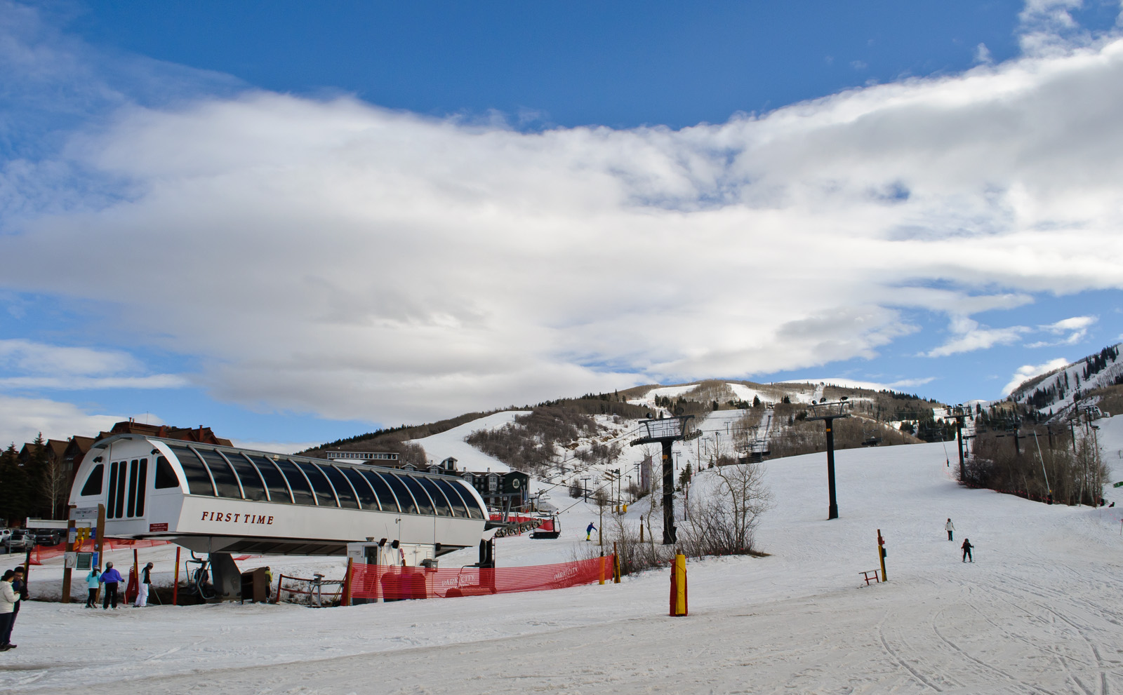
Park City Mountain is preparing for another season after warm conditions delayed its opening until December last winter.
The resort is targeting Friday, Nov. 20, as its opening day for the 2026-27 season, subject to weather and mountain conditions.
NOAA will release its next seasonal outlook update Nov. 19, providing another look at the probabilities for temperature and precipitation as resorts prepare to open.
For now, the agency's forecast leaves Park City's winter snowfall uncertain despite the stronger El Niño pattern.